California’s Wildfires Are More Than Five Times the Size of Wichita Falls
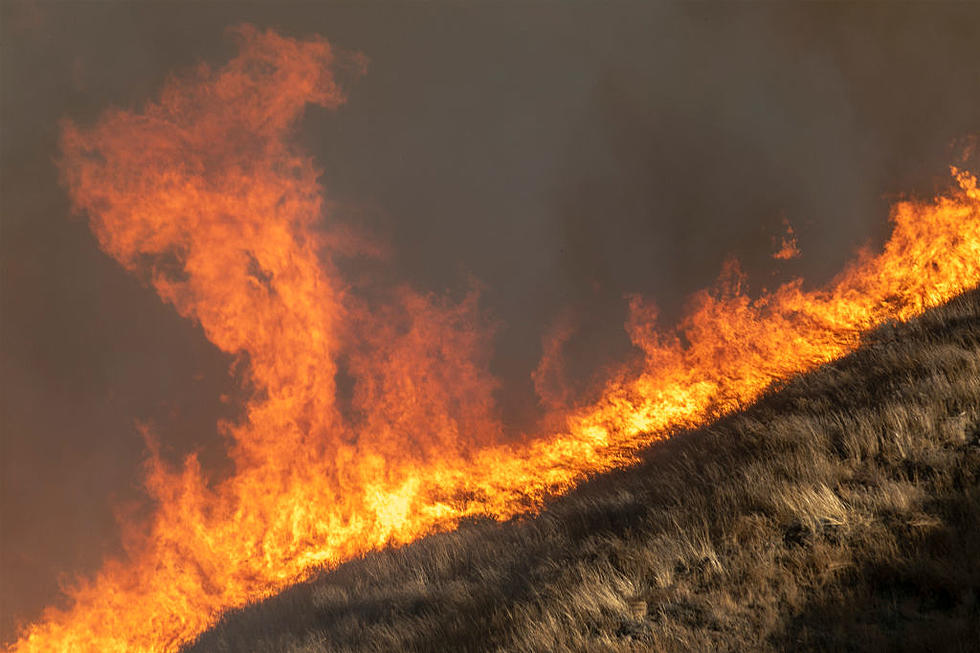
The massive wildfires ripping through California are said to be the most destructive and deadly in the state's history. Since November 8, altogether the fires have spread across more than 230,000 acres or about 364 square miles. As of Tuesday, Nov. 13, the death toll is up to 50.
To give you a better idea of just how enormous these fires really are, NBC put together an interactive map that allows you to compare the size of the three California wildfires -- Camp Fire, Woolsey Fire, and Hill Fire -- to the size of any area on the map.
The Camp Fire in Northern California is the largest of the three, and if it was placed on top of Wichita Falls, it would cover the entire city and then some. As of Tuesday, the Camp Fire stretched across 201 square miles, that's 2.9 times the size of Wichita Falls' 70 square miles or the equivalent of 88,000 football fields.

The Woolsey Fire, located near Los Angeles, has covered 156 square miles, about 2.2 times the size of Wichita Falls.

The Hill Fire was 7 square miles as of Tuesday and is 0.1 times the size of Wichita Falls.

Texas Governor Greg Abbott announced that about 200 firefighters and 55 fire engines from across Texas are headed to California to help fight the wildfire outbreak, including 12 firefighters and 4 pieces of equipment from Wichita Falls.
According to CBS News, a new lawsuit claims Pacific Gas & Electric, a major utility company, is to blame for the fires after allegedly failing to inspect and properly maintain its powerlines.
The Camp Fire has claimed 48 lives, destroyed 7,600 homes with 15,000 more threatened, and is only 35 percent contained. Firefighters say the blaze may not be fully contained until the end of November.

The Woolsey Fire has claimed two lives, destroyed 435 structures with 57,000 more threatened, and is 47 percent contained.


More From 102.3 The Bull